British Virgin Islands Dive Map & Adventure Guide
British Virgin Islands Dive Map & Adventure Guide is backordered and will ship as soon as it is back in stock.
Couldn't load pickup availability
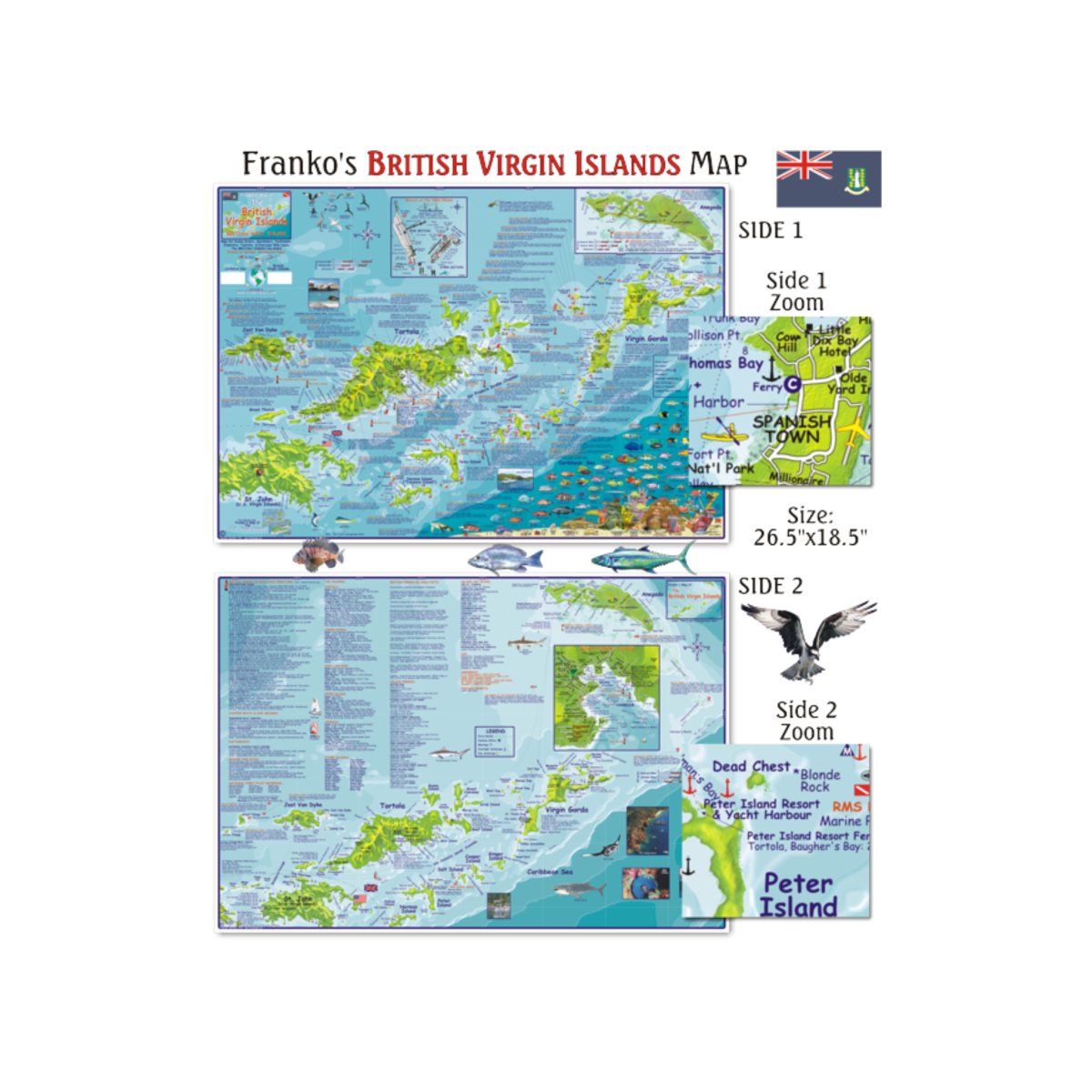
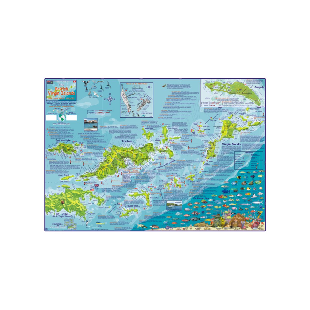
Waterproof map ideal:
- for scuba divers
- snorkelers
- sailors
- and tourists.
Includes:
- paved roads
- dirt roads
- overnight/day anchorage
- points of interest
- lodging/places to stop
- water depth contours (meters)
- soundings
- GPS coordinates
- sailing routes
- scuba sites
- snorkel sites
- dive shops
Includes:
- a list of the marine life around the islands
- inset map of the wreck RMS Rhone
- list of dive operators
- charter boats
| FRM013 | Specifications |
|---|---|
| FORMAT | Map |
| DIMENSIONS (IN) | 4.5 x 9 |
| ISBN | 9781931494168 |
| SUPPLIER/PUBLISHER | Franko Maps |
| DATE ADDED | December 2017 |
| PUBLISHED DATE | 2009 |


