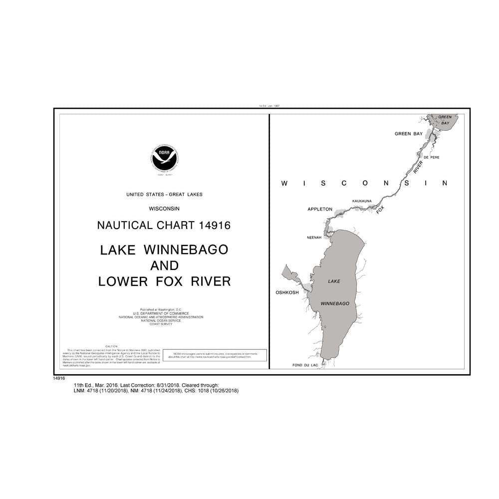
Historical NOAA Chart 14916: Lake Winnebago & Lower Fox River (38 Page Booklet)
Historical NOAA Chart 14916: Lake Winnebago & Lower Fox River (38 Page Booklet) is backordered and will ship as soon as it is back in stock.
Couldn't load pickup availability
This chart has been canceled by NOAA as of 5/3/2023 and is no longer maintained with updated data.
- Chart is NOT up-to-date since it is out of continual maintenance ·
- Chart is NOT updated daily and being printed on demand will NOT provide the latest published data possible
- This is NOT the most fully corrected, up-to-date U.S. charts available
- Chart is NOT updated weekly and does NOT include all of the latest Notice to Mariners corrections.
- The data from which this POD chart is produced is NOT certified by NOAA for navigation use, and is NOT correct to the date of printing
- Future Notice to Mariners corrections will NOT be applied to this chart
- This product will NOT meet U. S. and international carriage requirements for commercial vessels defined in SOLAS Chapter V Regulation 19.2.1.373
- The chart is NOT a U. S. Coast Guard approved product.
| NO_14916 | Specifications |
|---|---|
| FORMAT | Spiral Bound Paper |
| PAGES | 41 pages |


