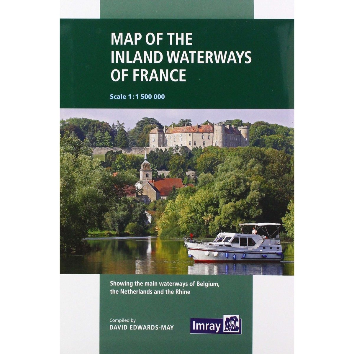
Map of Inland Waterways of France
Map of Inland Waterways of France is backordered and will ship as soon as it is back in stock.
Couldn't load pickup availability
The new cartography includes improved detail and presents essential information concerning distances and dimensions with a greater clarity than on previous editions. The map continues to cover the Low Countries and the western part of Germany and now also includes large scale insets of the Paris region and northeast France. The scale remains at 1:1 500 000
| IMR190 | Specifications |
|---|---|
| FORMAT | paperback |
| AUTHOR | David Edwards-May |
| DIMENSIONS (IN) | 11.3 x 7.6 |
| ISBN | 9781786790644 |
| SUPPLIER/PUBLISHER | Imray |
| DATE ADDED | JUNE 2020 |
| PUBLISHED DATE | 2019 |


